
L'Oriental
Geography
It is bounded to the north by the Mediterranean Sea, to the east by Algeria, to the south by Algeria and the Draa-Tafilalet region) and to the west by the provinces of Fez-Meknes and Tangiers-Tetouan-Al Hoceima.
L'Oriental region covers 82,820 km2 or 11.6% of the national territory. It is a three-fold border region with a population of 2,314,346 in 2014, or 6.8% of the national population. The region occupies the northeast of Morocco.
The region is strategically important for its geographical position and economic potential: it constitutes the essential interface to consolidate Morocco in its geostrategic position of crossroads between Europe, the Great Maghreb, and the Mediterranean world.
History
The Oriental Region was first established in 1971 as one of seven regions that made up the Kingdom of Morocco, which was later divided into 16 regions in 1997. It is inhabited mainly by people of Berber and Arab origins. It was also strongly influenced by the French and Spanish during the two protectorates established in the country between 1912 (Treaty of Fez) and 1956 when Morocco became independent. The Spanish protectorate included much of the Rif, so the Oriental Region covers a territory divided between the Spanish north (Nador) and the French south (Oujda).
Subdivisions
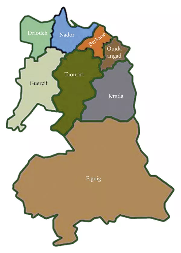
In 2015, Oriental was expanded to include Guercif Province. The region is made up of the following prefectures and provinces:
Provinces of Oriental:
- Berkane Province
- Driouch Province
- Figuig Province
- Guercif Province
- Jerada Province
- Nador Province
- Oujda-Angad Prefecture
- Taourirt Province


